
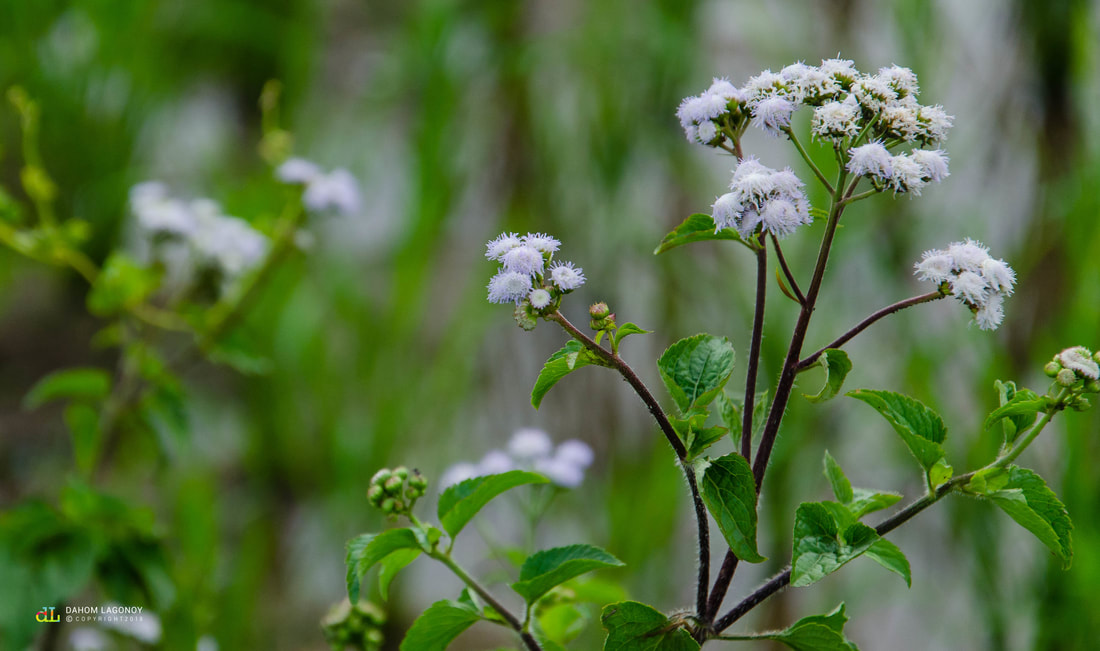
 Hagonoy Plant (Chromolaena Odorata Linn or Devil Weed) The town became a full-pledged parish in 1764 under the ecclesiastical province of Nueva Caceres and its first stone church was erected in 1768. However, due to its location near the Lagonoy river, it was destroyed by a flood and now only serves as a living memory of the past. 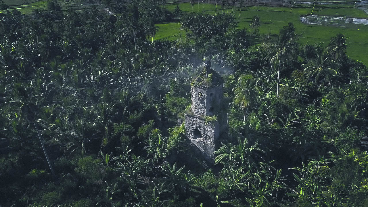 Ruins of the first stone church in Lagonoy built in the year 1768 Over the years, several municipalities were carved-out from Lagonoy and began their own independent governments; 1777 - Goa; 1794 - Tigaon; 1816 - San Jose and in 1887 - Presentacion. Presently, Lagonoy is under the fourth administrative district of Camarines Sur. It is geographically divided into two major areas; The North Coastal Region situated along the Lamit Bay and the North Pacific Ocean; and The Southern Region comprised mainly of the mainland areas identified as the West Mainland, East Mainland and the East Coast. The municipality of Lagonoy is subdivided into thirty-eight (38) barangay units wherein seven (7) of which composes the urban barangays and the remaining thirty-one (31) are rural barangays. Lagonoy occupies almost 20% of the total land area of the fourth district of Camarines Sur with 37,318 hectares, making it the largest town in Partido. 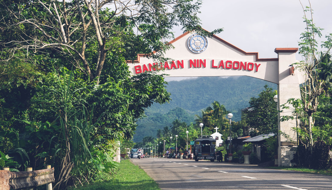 The gateway to the municipality of Lagonoy The population of the municipality has been growing positively. Per 2010 Population Census, Lagonoy reached a total of 51,814 residents--a mere 2.84% of the Province’s entire population. The municipality's average growth rate is 3.98%. Barangay San Ramon ranked first in population with 3,619 residents followed by Barangay Burabod with 3,398 residents. On the other hand, Barangay Agosais and Omalo has the smallest population registered during the 2010 census with 338 and 366 residents respectively.
The total population of Lagonoy is expected to increase by 11,157 in 2015 and an additional 13,558 by the year 2020. |
ArchivesCategories
All
|
 RSS Feed
